
Nashville storms tonight, then hard freeze
Midstate Daily may earn a commission from Amazon links.
Veterans Day feels more like early fall, with highs in the low to mid 70s. That changes fast tonight.
A cold front will push scattered showers and thunderstorms into Middle Tennessee this afternoon and evening, the National Weather Service in Nashville said in its late-morning forecast discussion Wednesday. Behind it comes the coldest air of the season so far, with a widespread hard freeze Friday and Saturday nights.
Storm timing tonight
Showers and storms move into the northwest part of the Midstate after 3 p.m. and spread east through the evening, with most of the activity clearing the area by midnight, according to the NWS. The office said there is a low chance for a strong storm or two before 9 p.m., mainly in the western part of the area, with strong wind the main concern.
Most of Middle Tennessee is under a Marginal Risk, level 1 of 5, for severe storms, WKRN reported. The station said the best chances run through about 10 p.m. and that the risk could be a little higher in far northern Middle Tennessee and Southern Kentucky. If a storm does develop, it could produce damaging wind gusts, a brief weak tornado or isolated hail, WKRN said.
FOX 17 meteorologists said most people will stay dry and not see a drop of rain. Rain totals should stay below a quarter inch, which won't do much to ease the extreme drought across much of the region, FOX 17 reported.
NWS Nashville gives the city a 40% chance of showers tonight, mainly before 8 p.m., with a low around 48 and west winds gusting to 20 mph.
Colder Thursday and Friday
Thursday's highs will be 10 to 15 degrees cooler than today, in the 50s, with a few scattered showers possible in the afternoon and evening, the NWS said. In Nashville, the forecast calls for a high near 60 Thursday, with temperatures falling to around 55 in the afternoon and northwest gusts up to 25 mph. Thursday night drops to around 35.
Friday stays in the 40s to near 50 for most of the area. The NWS said it may get cold enough Thursday night and Friday for a few snowflakes to mix in with showers on the Cumberland Plateau. No accumulation or impacts are expected.
How cold it gets this weekend
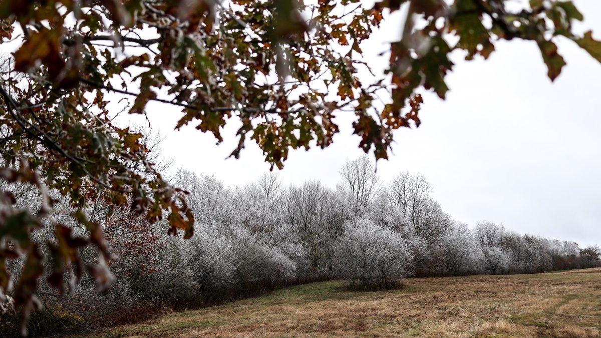
"Much of the area will see its first hard freeze of the year Friday and Saturday night," the NWS said. WSMV also called for a widespread freeze Friday night, with temperatures dropping below freezing again Saturday night across most of the Midstate.
Here are the latest NWS point forecasts for the coldest nights:
Nashville: about 29 Friday night and 28 Saturday night. Murfreesboro: 27 and 25. Franklin: 27 and 26. Hendersonville: 28 and 27. Lebanon: 24 both nights.
Saturday will be sunny but chilly, with highs near 51 in Nashville. Sunday warms to the mid 50s, and the NWS expects dry weather into next week, with highs back in the 60s by midweek and lows still in the 20s and 30s.
Protect people, pets, pipes and plants
WKRN is reminding viewers of the four P's before the cold snap: people, pets, pipes and plants. Get these done before sunset Friday:
Bring pets indoors overnight, or make sure outdoor animals have a dry, insulated shelter and water that won't freeze. Cover tender plants with sheets or frost cloth, and move potted plants into a garage or indoors. Disconnect garden hoses and drain them, and cover outdoor spigots with an insulated outdoor faucet cover. Exposed pipes in crawl spaces, garages and exterior walls are the most at risk.
Dress in layers for Saturday morning plans, and give yourself a few extra minutes to clear frost from the windshield.
For more Midstate weather, see last week's frost and freeze outlook, our fog and cold-snap update and all Nashville weather news.
Sources
- National Weather Service Nashville: Area Forecast Discussion (11:37 a.m. CST, Nov. 11, 2026)
- National Weather Service: 7-day forecast for Nashville and point forecasts for Murfreesboro, Franklin, Hendersonville and Lebanon (Nov. 11, 2026)
- WKRN: Isolated severe storms Wednesday; Cold blast ahead (Nov. 11, 2026)
- FOX 17: Isolated storms bring severe weather threat to Middle Tennessee and Southern Kentucky (Nov. 11, 2026)
- FOX 17: Scattered showers and a few storms by late Wednesday (Nov. 10, 2026)
- WSMV: First Alert Forecast: Mid-week rain, weekend cold blast (Nov. 10, 2026)
Affiliate disclosure: Midstate Daily is a participant in the Amazon Services LLC Associates Program, an affiliate advertising program. We may earn a commission when you buy through Amazon links on this page, at no extra cost to you. Links never affect our news coverage.